I had previously discussed an upcoming ground lesson in preparation for the oral portion of the check-ride, well today was that lesson. A guy that was in the ground school with me had recently taken his check-ride and he had passed on some information to my CFI about the examiner’s questions during the oral test. While the test is fairly regimented and unsurprising, the oral exam is less structured than the practical exam. There are the standard parts, legal questions and cross country planning, and there are the questions that the examiner chooses to focus on. This lesson is about those questions specifically.
The first thing we discussed was the official legal requirements regarding airworthiness of the aircraft. This included everything from when, where, and what I could fly to what work/inspections had to be done and when. I had a little trouble with the legal distinctions between 100 hour inspections and annual inspections. It was really just an excuse to use the FAR/AIM to make sure I knew where to look things up. The oral exam is after all basically open book.
The next thing, and a majority of the lesson, was stuff on the sectional chart. I had already been told that the examiner would beat the sectional to death, so I really studied it. Unfortunately, according to the feedback from the recent check-ride, there was some stuff that came up that wasn’t very common. Specifically, aspects of victor airways, intersections, and their identification. The first thing I had to do was point out and explain victor airways, which was easy enough. Then it got difficult, I had to identify intersections and explain why the arrows point one way or the other. After all that, all that was left was the little number under each blue line. I knew they had something to do with victor airways, and I was getting tons of hints, but I just couldn’t come up with the answer. After naming nearly everything it could be, I suggested that it could be distance between VORs. DINGDINGDING! That’s the correct answer.
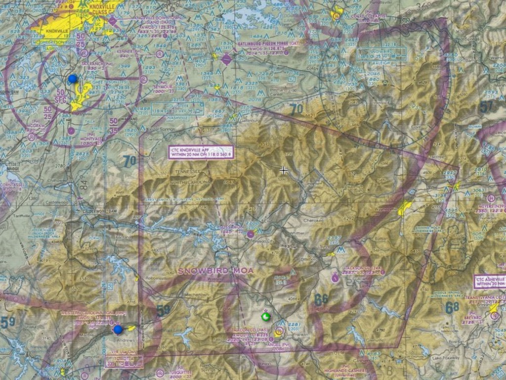
After some conversation regarding victor airways and distances, we moved on to military training routes and operations areas. There is a big military operations area, called Snowbird, southeast of TYS class c airspace, so I am used to seeing what they look like. It starts at 11,000 feet, so I don’t really have to deal with it much. After briefly looking at Snowbird, we moved on to training routes. I explained that they were gray lines and that the identifiers tell what they are used for. We discussed why this would be good to know. Essentially it is an aircraft avoidance measure. Honestly, an F18 doing mach .95 on the deck makes a big hole in the side of a 172 and that’s not something I’m all that interested in experiencing.
Lastly, we went over airspace, paved/unpaved fields, towered/non-towered fields, and weather the field has fuel. There was a brief conversation about the next few lessons and what to study and I was done for the day. In all I was there for about an hour an a half, but it was a very useful and interesting hour and a half.

